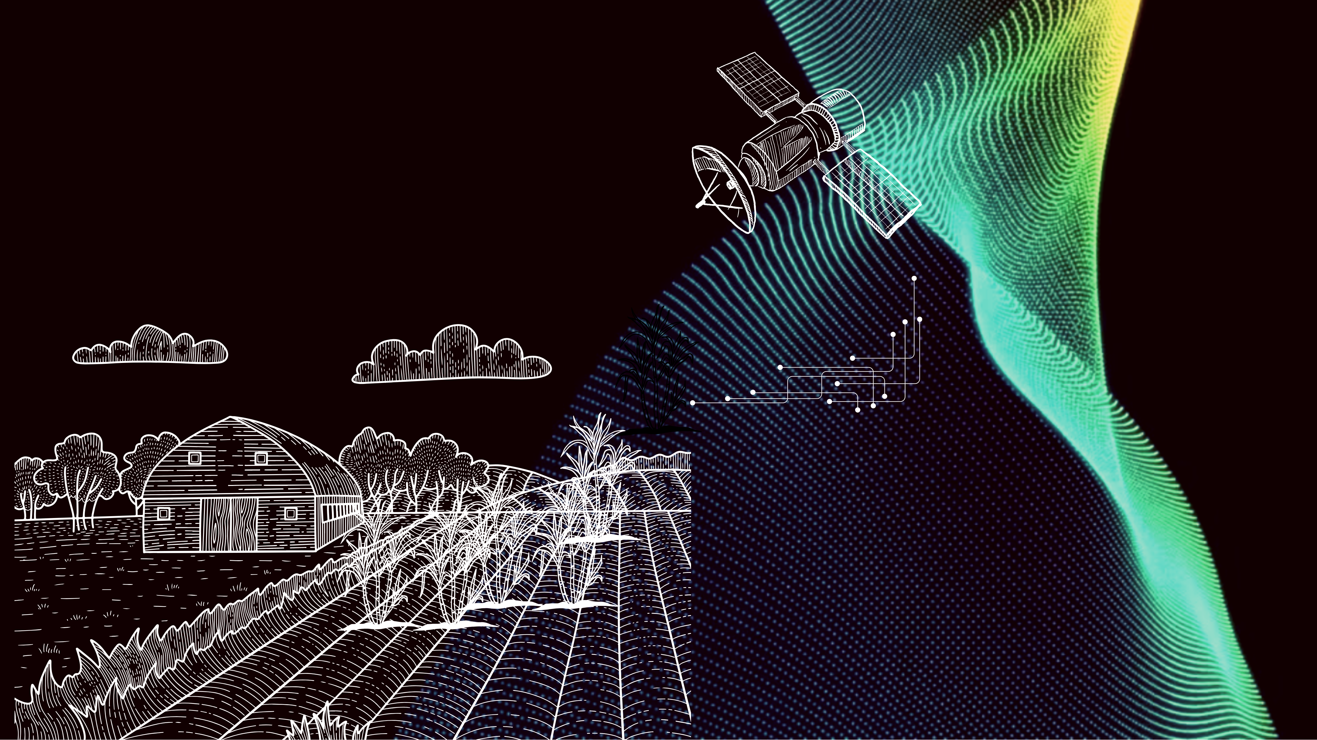
INTRODUCING - CANESENSE

We are thrilled to announce our new partnership with SatSure, a leading deep-tech decision intelligence company. Together, we are building a platform for the industry to leverage remote sensing, machine learning, and big data analytics to improve crushing forecasting with more accurate cane data.

Vision

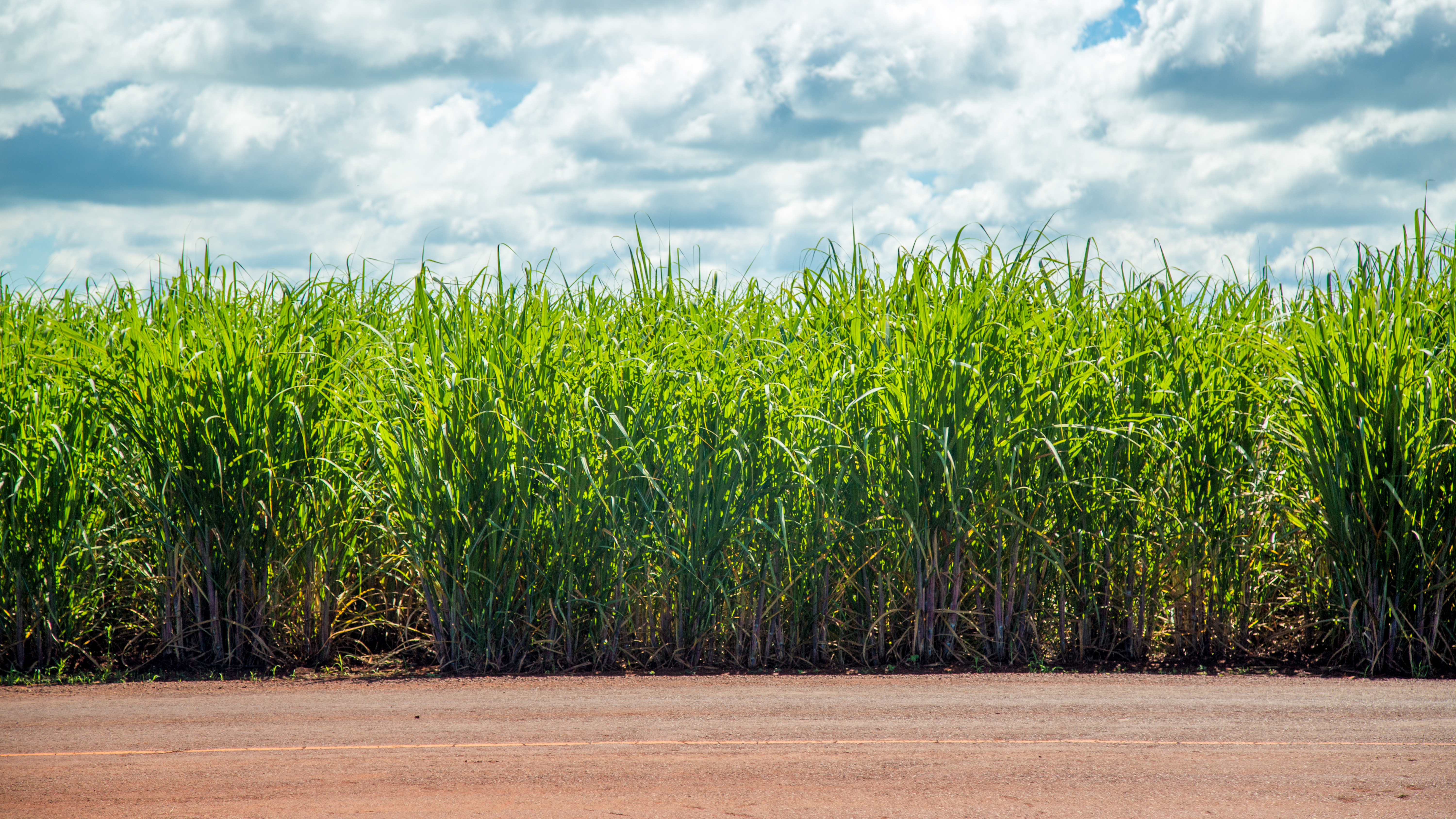
Merging precise remote sensing data with ground truth observations, we aim to establish a sustainable and stable solution for acreage and yield estimation of sugarcane. This approach not only enhances accuracy in yield estimations but also fosters smarter agricultural practices that adapt and improve with every dataset.

Mission

Our goal is to lead this transformation, ensuring long-term sustainability and success for all stakeholders.

CANESENSE

Value Proposition

Satellite Insights

Enhanced Decision Making with Satellite Insights

Leveraging advanced satellite imagery and analytics for accurate crop health monitoring.

Facilitating informed decision-making for harvest planning and procurement.

Satellite Insights

Optimized Farm Management and Yield Enhancement

Digitization of farmland using high-resolution satellite imagery for precise area measurement and boundary mapping.

Satellite Insights

Streamlined Operations via a Connected Ecosystem

Implementing an integrated data platform to connect all stakeholders.

Satellite Insights

Improved Ground Truth

Frequent Field surveys

More digital interventions through drones

Satellite Insights

Make Your HNT Data Driven

Better Operation planning

improve HNT Efficiency

Satellite Insights

Visual Dashboard & Analytical Reports

Dashboard which gives you snapshot of your cane procurement